


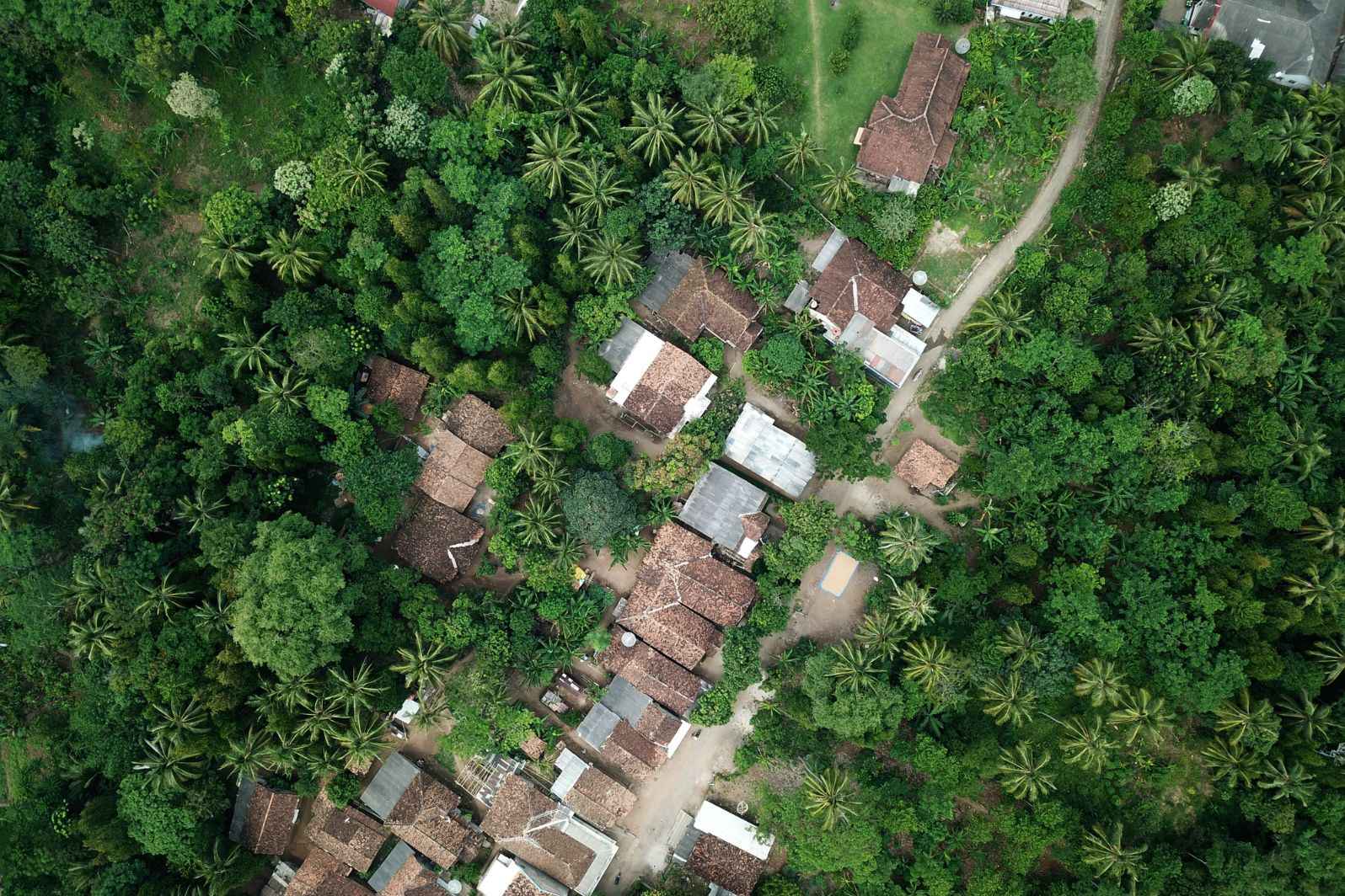
In today’s data-driven world, organizations are constantly searching for new sources of actionable intelligence. One of the most transformative tools available is professional-grade space photography — high-resolution images captured from satellites orbiting Earth. These images go far beyond pretty visuals of our planet; they deliver strategic insight that can influence decision-making across industries. In this post, we’ll explore what space photography offers, how it’s used strategically, and how you can access commercial imagery to drive smarter outcomes.
Table of Contents
What Is Professional-Grade Space Photography?
Professional-grade space photography refers to satellite imagery with high enough resolution and clarity to detect and analyze details on the ground. Unlike consumer-level satellite images that might show broad geographic features, professional imagery can reveal objects like buildings, vehicles, infrastructure changes, and even shifts in natural environments. This level of detail is essential for organizations that require precision and up-to-date situational awareness.
Accessing these images traditionally required substantial investment in technology and partnerships, but today, platforms exist where businesses can easily purchase commercial satellite photos for specific regions and timeframes.
How Space Photography Enhances Strategic Insight
Monitoring Environmental Change
Climate change, deforestation, coastal erosion, and wildfire damage are just a few environmental concerns that benefit from satellite observation. With professional imagery taken at regular intervals, scientists and policymakers can monitor trends, assess the impact of interventions, and predict future risks. The ability to compare images taken months or years apart provides a dynamic view of how environments are changing over time.
Supporting Disaster Response
When natural disasters strike, rapid access to current satellite imagery is critical. Emergency response teams rely on space photos to assess the extent of flooding, landslides, or storm damage, especially in areas where ground access is limited. These images help allocate resources efficiently and can even save lives by highlighting isolated communities in need of immediate aid.
Enhancing Urban Planning and Infrastructure Management
City planners and civil engineers use satellite photography to map urban growth, plan infrastructure projects, and track construction progress. Professional images provide an unparalleled vantage point to assess traffic flows, land use changes, and the development of utilities. By analyzing trends visible from space, planners can make informed decisions that improve efficiency and sustainability.
Commercial and Competitive Intelligence
For businesses, satellite imagery isn’t just about observing physical terrain; it’s a competitive edge. Retailers might use imagery to estimate parking lot traffic at competitor locations, while energy companies monitor pipeline integrity and facility usage in remote areas. Satellite photos can provide real-time validation of market conditions that are otherwise hard to quantify.
Agricultural Optimization
Farmers and agricultural analysts increasingly turn to professional imagery to monitor crop health, soil moisture levels, and planting patterns. With multispectral imaging, it’s possible to detect issues like pest infestations or nutrient deficiencies before they are visible to the naked eye. This proactive approach can lead to higher yields and lower operational costs.
Choosing the Right Imagery Provider
With the growing availability of commercial satellite data, organizations have more options than ever. When selecting a provider, consider factors such as image resolution, update frequency, geographic coverage, and ease of access. Many platforms now offer on-demand purchasing and API integration, making it seamless to incorporate satellite imagery into existing systems.
Conclusion
Professional-grade space photography is more than a technological marvel — it’s a strategic tool that enhances insight across environmental science, emergency response, urban planning, business intelligence, and agriculture. By leveraging high-resolution images from orbit, organizations can make data-backed decisions with clarity and confidence. Whether you’re tracking long-term change or addressing immediate challenges, satellite imagery delivers a perspective that’s truly out of this world.
